Aerial IMagery and video
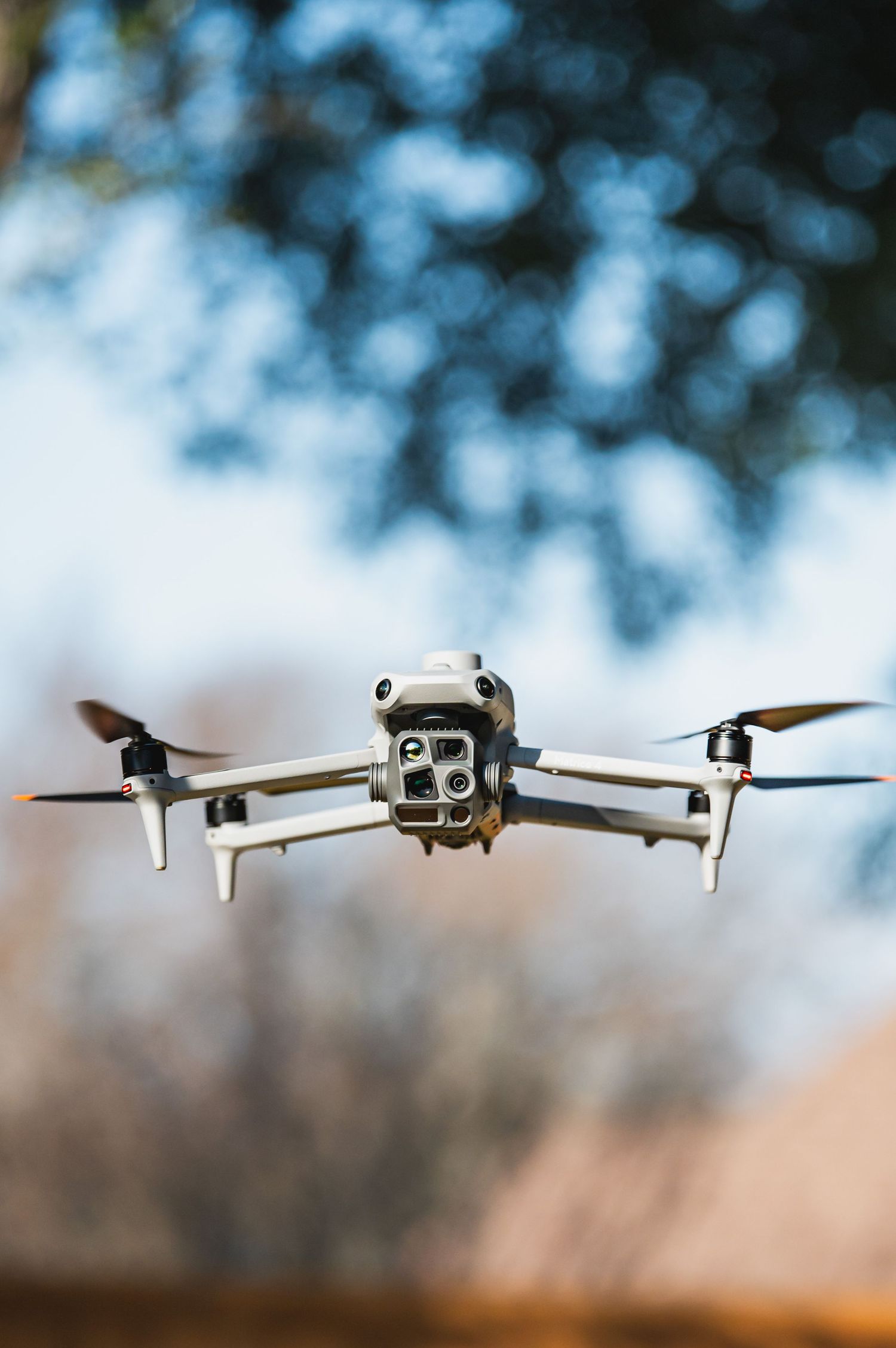
I provide professional photography plus FAA Part 107–certified drone services, including photogrammetry and thermography, for real estate and energy/industrial clients who need clean visuals and measurement-ready deliverables. I’m fully equipped to support the full workflow from field capture through final outputs, and I bring over 15 years in renewable energy managing operating power plants—so I understand safety culture, site access constraints, and what stakeholders need to make decisions.
- Photogrammetry & mapping deliverables: GeoTIFF orthomosaics, point clouds, DSM/DTM (when requested), KMZ overlays, and PDF map exports
- Thermography (UAS): thermal inspection imagery and clear anomaly documentation for asset-focused reviews (as requested/scope-appropriate)
- Aerial & ground photography: marketing and documentation packages for properties, facilities, and projects
- Compliance & planning: FAA Part 107 operations with airspace/authorization coordination when required
- Professional handoff: organized folders, labeled outputs, and straightforward reporting for client teams
Elevate Your Listing: The Power of Real Estate Drone Imaging
In a competitive market, traditional photography is no longer enough to stand out. Drone imaging transforms how businesses and homeowners showcase properties, offering a "bird’s-eye view" that builds brand trust and drives engagement.
The Real Estate Competitive Edge
• Unique Aerial Perspectives: Capture striking panoramic views and unique angles that allow potential buyers to experience a property from anywhere in the world.
• Immersive Video Tours: High-resolution aerial media supports marketing campaigns that stand out across social platforms and online listings.
• High-Impact Advertising: Aerial footage adds immediate professionalism and impact to brochures, corporate presentations, and digital ads.
• Increased Bookings: For resorts, B&Bs, and commercial venues, quality aerial imagery is a powerful driver for customer engagement and brand trust.
High-Value Construction & Asset Insights
Beyond traditional sales photos, drone technology provides essential data for builders, project managers, and investors:
• Progress Tracking: Use drone time-lapse and internal 360° views to keep stakeholders professionally informed of project evolution.
• Service Mapping: Record the precise locations of underground services and critical assets before they are covered by construction, providing long-term value for asset managers.
• Geospatial Planning: Leverage topographic mapping and elevation modeling to visualize challenging build site landscapes.
• Internal Documentation: Use internal 360° imaging to document the "invisible" components of a building once a project is complete.
Comprehensive Deliverables
• High-Resolution Media: 4K RGB photography and videography for cinematic property showcases.
• Interactive Digital Twins: Create 3D site models and orthomosaics that allow for detailed digital inspection of a structure.
• Precision Data: Utilize RTK/NTRIP precision to achieve centimeter-level accuracy for mapping and site modeling.
Why Hire Professional Drone Experts?
• Safety & Compliance: Professional operators are FAA Part 107 certified and maintain comprehensive commercial insurance to mitigate risk.
• Advanced Sensor Tech: Access to specialized equipment including thermal sensors for building envelope energy audits and moisture detection.
• Faster Turnaround: Aerial surveys can reduce field time by up to five times compared to traditional manual methods.